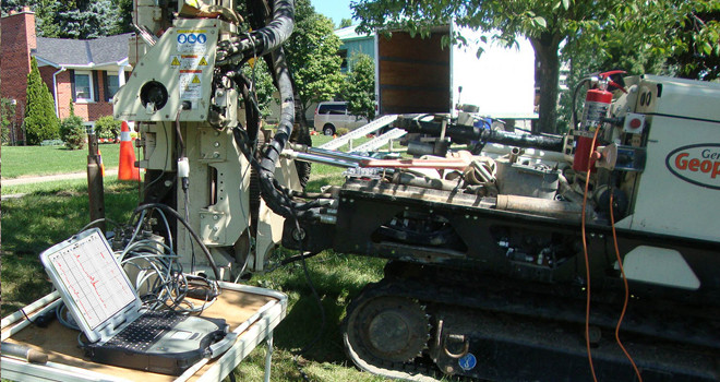
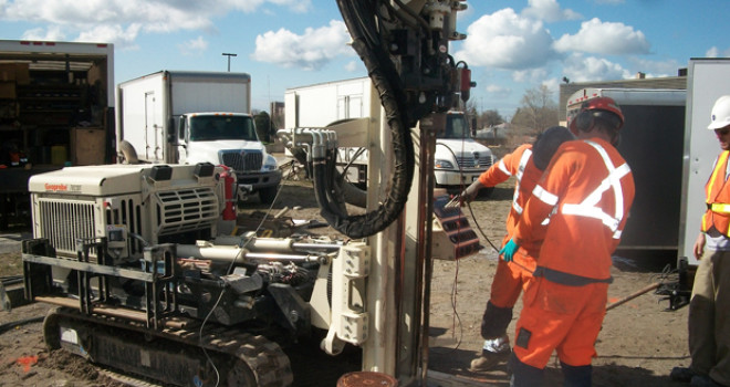

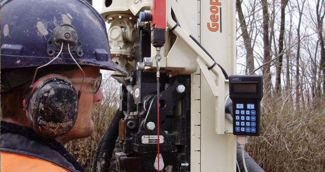
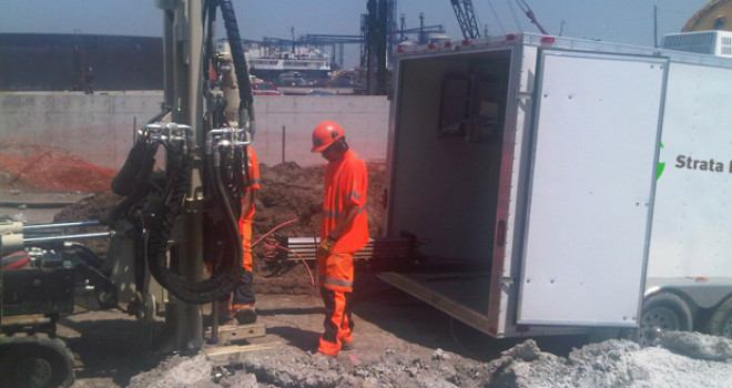
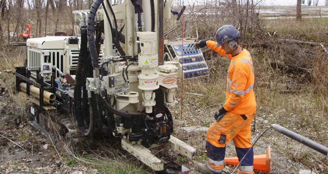
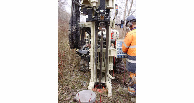
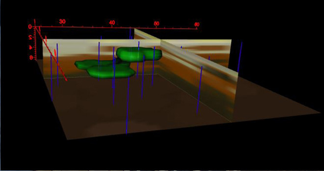
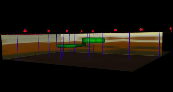
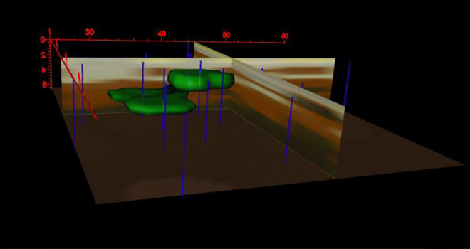
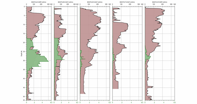
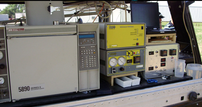
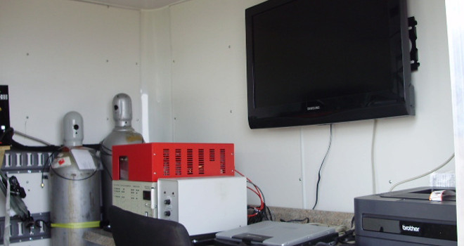
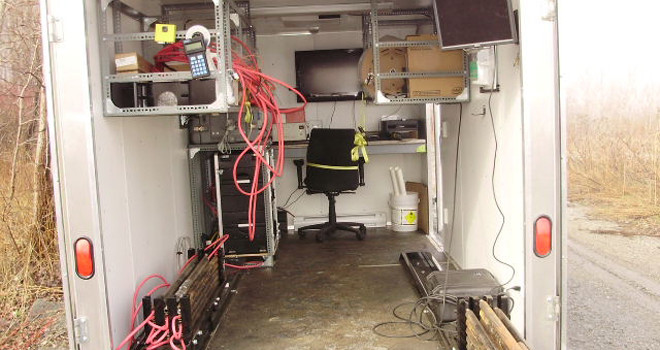
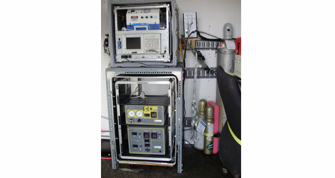
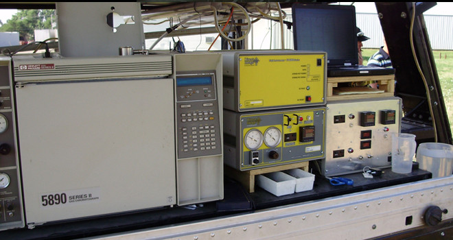
As a specialty contractor to Environmental, Geotechnical and Mining Exploration industries, Strata Imaging, a part of the Strata Drilling Group, offers a diverse portfolio of cost-effective solutions to optimize detection of soil and groundwater contamination providing world-class innovative data collection, analyses, visualization, mapping and tracking tools.
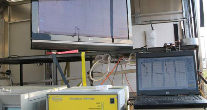
Our information processing and visualization platforms provide easy to comprehend 2D/3D conceptual site models of soil and groundwater contamination. The ability to “see” contaminants at levels offers decision makers the ability to make real-time decision on projects days before lab results would be available saving time and money on extensive delays.
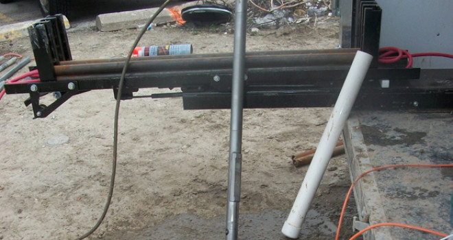
Strata Imaging uses state-of-the-art High Resolution Vertical Profiling tools to deliver the following for our clients:
![]()
(16 Pages / 1mb Download)
![]()
